France split into three nearly equal populations shows how unevenly the country is settled

Divide metropolitan France into three carefully drawn sections and an unusual pattern appears: roughly the same number of people can be found in the west, a narrow central strip and the east, despite the three areas being dramatically different in size.
Key points
- Each section contains about 22 million people
- The central strip is much smaller in area
- Paris heavily shapes France's population map
Divide metropolitan France into three carefully drawn sections, and an unusual pattern appears: roughly the same number of people can be found in the west, a narrow central strip and the east, despite the three areas being dramatically different in size.
The map estimates 22.6 million people in the western section, 22.6 million in the centre and 22.3 million in the east, including Corsica. Together, that is about 67.5 million people, broadly consistent with the scale of France's metropolitan population.
France's national statistics agency INSEE estimates that metropolitan France had 66.8 million residents on January 1, 2026, while the entire country, including its overseas departments, had about 69.1 million.
The difference between the map's total and the latest official estimate means its figures should be treated as an illustration based on an earlier population dataset rather than a precise picture of France in 2026.
RECOMMENDED FOR YOU
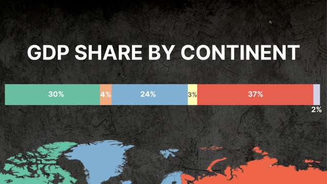
Asia produces the largest share of global GDP
Paris makes the middle much more crowded
The striking part of the map is not that France can mathematically be divided into thirds, but how little land is needed to capture the middle third of its population.
A major reason is Paris and its surrounding urban region. Île-de-France alone had about 12.46 million residents in the 2023 census, nearly one-fifth of metropolitan France's population. The wider Paris urban area contained about 11 million people.
The concentration becomes clearer when density is considered. INSEE puts Île-de-France at about 1,038 people per square kilometre, compared with just 118 in Auvergne-Rhône-Alpes, another of France's largest regions. Paris itself had almost 20,000 people per square kilometre in 2023.
This helps explain why the central section can reach roughly the same population as the much larger western and eastern sections.
France's population is far from evenly spread across its territory. Large urban areas such as Paris, Lyon, Marseille, Toulouse and Bordeaux concentrate millions of residents, while extensive rural areas have much lower population densities.
The map therefore does not show France's administrative regions or propose a new division of the country. Instead, it visualises a demographic reality: equal numbers of people do not require equal amounts of land.